Exea is an open, collaborative and inter-disciplinary scientific infrastructure for research in the social sciences and digital humanities of the Institutes of the Centro de Ciencias Humanas y Sociales (CCHS) of the CSIC .
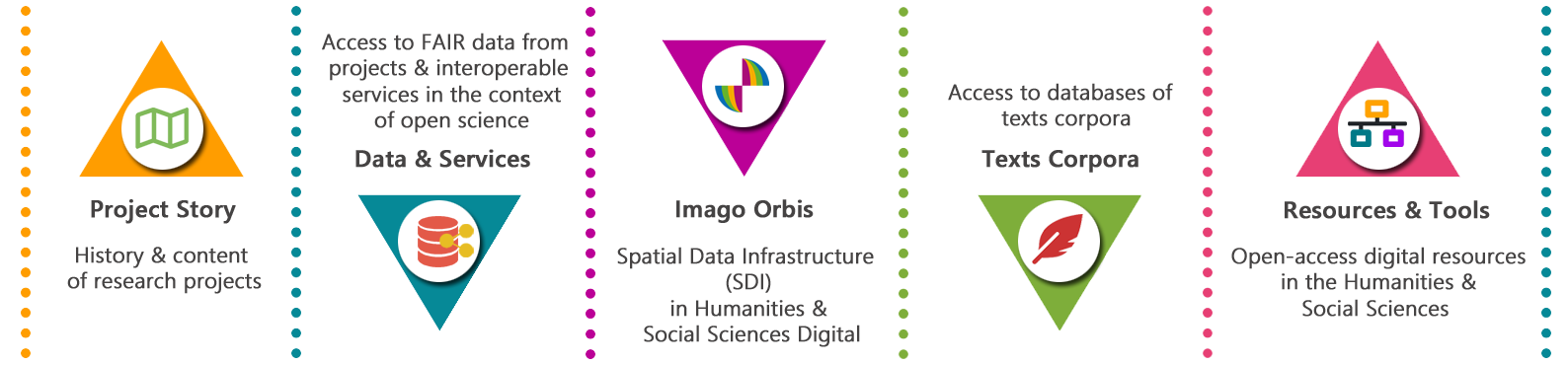
Through Exea[1] it is possible to access structured content and data resulting from research projects in the Humanities and Social Sciences, according to scientific patterns and standards, such as the FAIR (Findable, Accessible, Interoperable and Reusable) principles , allowing to support the entire life cycle of digital data, its preservation and integrity, beyond the temporary validity of the projects.
Exea provides, in addition to the hosting of databases, text corpora, applications and software adapted to the needs of the projects, interoperable services on data, metadata catalogues, analysis results, dynamic visualisation resources, documentation and technological tools that enable the discovery, access, downloading, sharing, visualisation, comparison and reuse of the research carried out in the different disciplines of Social Sciences and Digital Humanities of the CCHS, in an open science environment.
 Imago Orbis
Adding the spatial component to existing data, or making use of geo-referenced project data, has become a standard approach to analyse, present and explore academic topics in the Social Sciences and Humanities. It is therefore part of Exea, the Spatial Data Infrastructure (SDI) Imago Orbis.
The Imago Orbis SDI is a federated geoportal of interoperable spatial data, metadata and services that provides an open framework in which different research teams can incorporate their georeferenced digital data in a way that guarantees its storage, publication, dissemination and reuse through a single, stable interface, in accordance with the standards and protocols of ISO/TC211 and the specifications of the Open Geospatial Consortium.
Imago Orbis is also made up of a set of thematic nodes with their own specifications (Dynamic Viewer, IDEArq, JAE Educa, Maritime History Map, HISDIMAD, SigMayores, Neo-Sumeriam Text Web Map, IDE Casa Montero...), as well as two other central fundamental pieces, which function autonomously but which are related and communicate thanks to the standardisation and interoperability of the web services, and which are the Viewer and the Imago Orbis Catalogue.
Imago Orbis is also part of the Spatial Data Infrastructure of Spain (IDEE).
[1] The term «exea» appears in different 15th century Castilian texts and is defined as . «the guide or explorer who accompanied travellers along the roads».